InstiMaps™ Automated Threat Detection
- Home
- /
- InstiMaps™ Automated Threat Detection

Near Real-Time Reporting System for Pipeline Patrol
End-to-End Pipeline Patrol threat detection and reporting
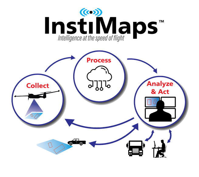
InstiMaps uses advanced airborne sensors, real-time artificial intelligence (AI) and LTE communications to detect, identify and report imminent threats from aircraft patrolling geographically distributed critical assets in near real-time. Imagery and identified threats are delivered within minutes of detection, in formats that can be seamlessly integrated into customer asset management platforms.
The InstiMaps Cloud supports company-wide operations, simultaneously publishing threats from multiple InstiMaps-equipped aircraft across the network.
Specifications
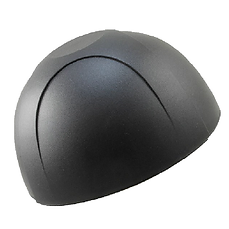
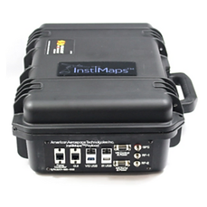
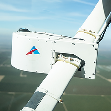
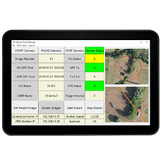
InstiMaps consists of a sensor pod, antennas, a tablet computer and a self-contained payload management system that are collectively Federal Aviation Authority (FAA) compliant. The airborne sensors system includes high resolution visible (Red-Green-Blue) and Long Wave Infrared (LWIR) cameras.
InstiMaps Is Future Proof
Not only has American Aerospace developed the InstiMaps hardware/software solution for aerial pipeline patrol, we are also actively developing future-proof platforms to carry the payload. We are looking for pipeline companies to share this journey with us.
The Process
Near Real-Time Threat Detection and Reporting
InstiMaps™ Sensors
InstiMaps™ Publishing
Threat Reports
Data Delivery
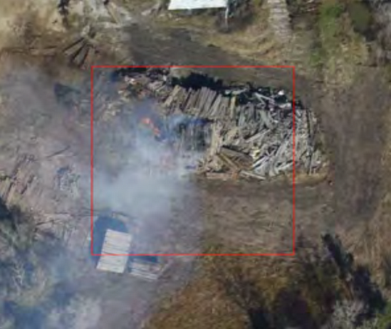
Safety & Environment
Machinery Threat
· Liquid & Gas Leak Detection
· 3rd Party Activity
· Construction activity
· Severe Weather Effects
· Geotechnical Threat
· Emergency Response
· Leaks, fires, floods…
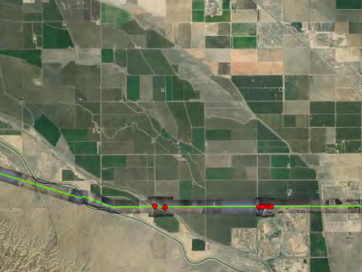
Compliance
· Improved Reports
· Historical Records
· HCA Analyses
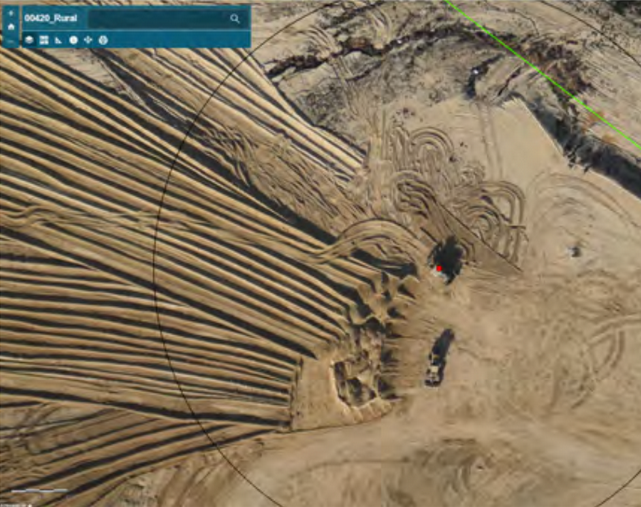
Operations
· Facilities Inspections
· Compressor & Pumping Stations
· Tank Inspections
· Leak Detection
· Inventory Tracking
· Construction Management
· Site Surveys
· Vegetation Management
· Security
· ROW Conditions
Downloads
The AiRanger™ is available as a service through AATI’s Airborne Systems Group (ASG), available for purchase, and also available to be configured with AATI’s Instimaps payload.

